Finding the Goldilocks Zone for Fish at Oil Platforms
If you are an angler looking for the best place to fish in the Gulf of Mexico, the oil platforms offshore of Louisiana's Atchafalaya River are your best bet.
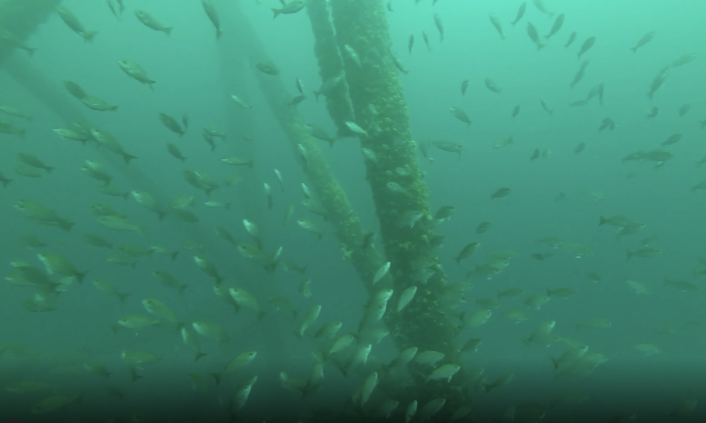
Researchers used a submersible-rotating drop-camera to capture fish images, such as vermilion and red snapper, and identify fish distribution and abundance patterns. They conducted 114 surveys at 54 platforms throughout the Gulf of Mexico. Credit: Derek Bolser.
The most comprehensive study of fish assemblages near oil platforms, released today in the journal Fisheries, identified the area as a hotspot.
Just as reefs host large populations of fish important for fishing industries and local communities around the globe, so can man-made structures such as the oil platforms found in the Gulf. Researchers from The University of Texas Marine Science Institute and other institutions discovered the hotspot in a "Goldilocks zone" that's not too salty, not too murky, and has plenty of oxygen. It turns out that the water offshore from Louisiana's Atchafalaya River is "just right" resulting in the highest diversity, density, richness and biomass of fish at platforms.
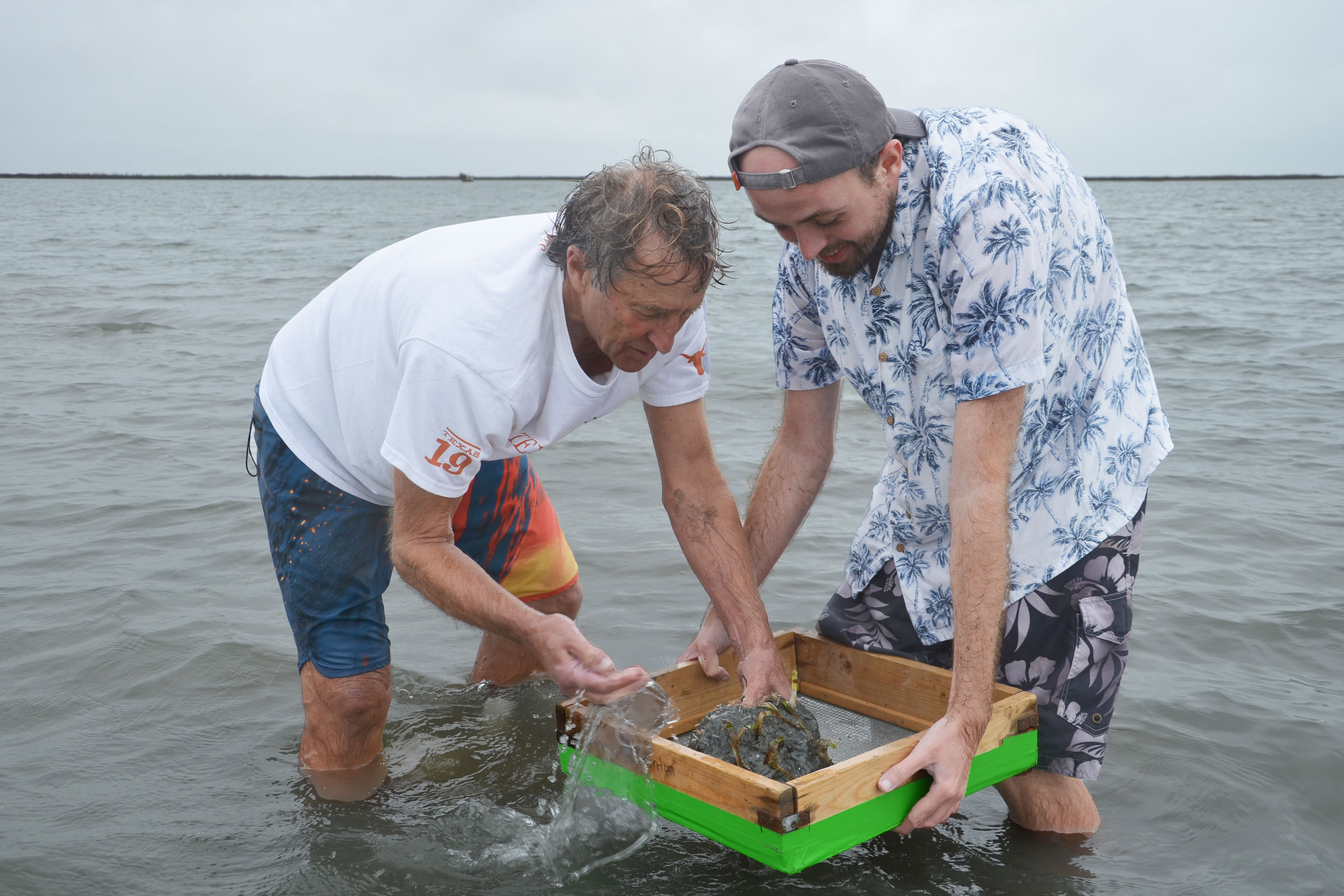
In a new study authored by Derek Bolser published in Fisheries, a recent graduate of the University of Texas Marine Science Institute's marine science graduate program, scientists describe uncovering the hotspot offshore of the Atchafalaya River using multiple strategies, including drawing on water characteristics like salinity and dissolved oxygen to understand water masses affecting fish at the platforms.
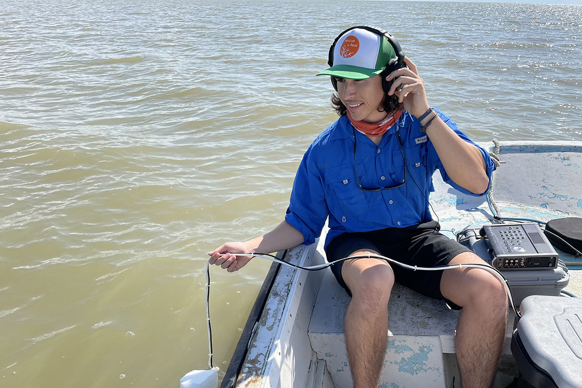
The team of researchers used both sight and sound through vessels equipped with video and echo sounder instruments to capture where, and more importantly why, patterns in fish assemblages occur around oil platforms across the Gulf of Mexico. The massive data collection and insights gained from prior studies allowed Bolser and coauthors to determine that the Louisiana area's hotspot benefits from the biological productivity of freshwater inflow from the Atchafalaya River, meso-scale circulation patterns that bring in Caribbean fish larvae from the south and the relative stability of water conditions offshore.
The authors were able to come to this conclusion because their combination of video, acoustics and measurements of water conditions and platform characteristics created a large amount of data from 114 surveys at 54 platforms across the Gulf of Mexico. Optical data from videos revealed which species were found at platforms and their relative abundance, while acoustic data in this context is like what one would see on a "fish finder," except that Bolser and coauthors used it to estimate fish biomass, density and size.
In a previous study using just the video information, Bolser focused on how fish species were distributed amongst oil platform types considering different environmental variables. What Bolser and coauthors learned from that study led them to combine visual and acoustic data to examine fish assemblages around platforms in a more comprehensive fashion.
"It's much more powerful to combine both the visual and acoustic data. It allows us to see a bigger and more nuanced picture to figure out what factors have the most impact on many different aspects of fish assemblages," Bolser said.
The authors found that the platforms in this area are far enough from shore that they are likely to get the productivity benefits of freshwater without the sediment or hypoxia that can sometimes come with high river flows, like the dead zone offshore from the Mississippi River. The Atchafalaya hotspot is also an area that is likely to benefit from influxes of Caribbean born reef larvae brought by meso-scale circulation eddies from the Gulf of Mexico's Loop Current.
This study is the most comprehensive research done to date of fish assemblages near Gulf of Mexico oil platforms. It points to the importance of incorporating distance from shore, distance from fresh water inputs, and circulation patterns as the key points to determining where the fish are—for anglers, resource managers and agencies considering decommissioning platforms.
Derek Bolser recently began a postdoctoral fellowship at Oregon State University and is joined in authorship with Jack Egerton with Echology Ltd (with the University of Texas Marine Science Institute when this study was conducted), Arnaud Grüss with the New Zealand National Institute of Water and Atmospheric Research and Brad Erisman, a former UTMSI faculty member now with the National Oceanic and Atmospheric Administration's National Marine Fisheries Service.
The study was supported by the U.S. Department of the Interior, Bureau of Ocean Energy Management, Environmental Studies Program and multiple fellowships awarded to Bolser from The University of Texas at Austin. They include the Donald D. Harrington Dissertation Fellowship, Jess Hay Chancellor's Fellowship, E.J. Lund Founders Fellowship for Graduate Students of Exceptional Merit, Eugene William (Bill) Swarzlose, III Graduate Student Endowment Scholarship, Allen Jacoby Memorial Scholarship, and Port Aransas Rod and Reel Club Scholarship.